2026-08-31 · 8 min read · Canyon Country · last reviewed 2026-09-17
By Michelle Dubner, REALTOR® · DRE #01496647 · Dubner Real Estate Group
Buying in Canyon Country: What to Compare
Should buyers compare Canyon Country to other parts of Santa Clarita at the same time?
When buyers compare homes in Canyon Country, the smartest first step is to look past the listing photos and compare the home’s zone, access, maintenance district, and planning context. Those details c
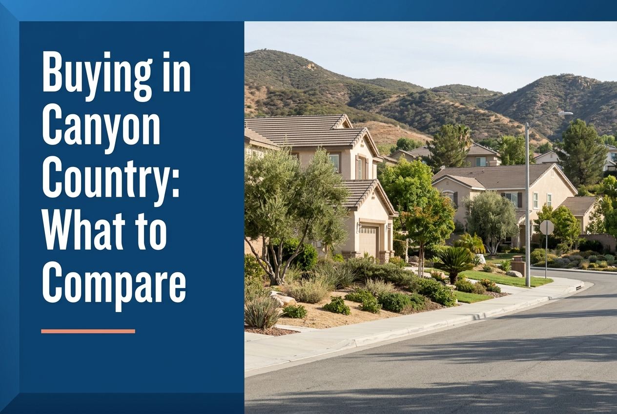
Part of Living in Canyon Country
Overview
When you compare homes in Canyon Country, start with location details that affect daily living, not just square footage and finishes. We look at the home’s zone, the roads that access it, and whether it sits in a city-maintained area or a nearby unincorporated part of the Santa Clarita Valley.
We also tell buyers to compare how each home fits into the larger Santa Clarita setting. Canyon Country is part of the City of Santa Clarita, which sits about 30 miles north of Downtown Los Angeles, so access, planning, and district details can matter from one property to the next.
Here is where we go deeper on it: what to know about living in Canyon Country.
Key Takeaways
- Compare the specific Canyon Country zone, because many neighborhoods are identified by different zone names and access roads.
- Check whether the home is in a City of Santa Clarita area or part of the broader Santa Clarita Valley planning area.
- Look at LMD zone details, since these zones are financially independent and maintained by the City.
- Use access roads as a real comparison point, because many zones are defined by how you enter and leave them.
- Compare nearby community features only when they are part of the official zone description, not because of general assumptions.
What should you compare first in Canyon Country?
Start with the exact zone and neighborhood name. The City’s LMD pages identify Canyon Country areas such as Rainbow Glen, El Dorado Village, American Beauty, Shangri-La, Canyon Park, Bouquet Canyon, Stonecrest, Canyon Heights, Fair Oaks Ranch, Canyon Crest, and more. That is useful because two homes in the same general part of Canyon Country can still sit in different districts and use different access roads.
This helps buyers avoid treating all Canyon Country homes as the same. A home accessed from Soledad Canyon Road may live differently from one reached from Sierra Highway, Golden Valley Road, or Bouquet Canyon Road. When we compare homes, we want the map view, not just the marketing view.
How do access roads change the comparison?
Access matters because it shapes the first and last part of every trip. The official zone descriptions often name the roads used to reach the neighborhood, such as Sierra Highway, Golden Valley Road, Soledad Canyon Road, Bouquet Canyon Road, Copper Hill Drive, Via Princessa, and Lost Canyon Road. That tells you something real about how a home connects to the rest of Santa Clarita.
For buyers, this is a practical way to compare homes without guessing. A property in Canyon Heights is described as accessed from Copper Hill Drive at Haskell Canyon Road. A property in Rainbow Glen is accessed from Rainbow Glen Drive and Sierra Highway. Those are different daily patterns, even before you look at the house itself.
Should buyers look at city zones and county planning too?
Yes. In the broader Santa Clarita Valley, the County’s Santa Clarita Valley Area Plan applies only to unincorporated portions of the valley. The packet also says the County plan and the City of Santa Clarita General Plan were created as part of a joint planning effort called One Valley One Vision. Together, they provide a unified vision for development and conservation across the valley.
That matters to buyers because Canyon Country sits inside a larger planning picture. If you are comparing homes across the valley, or even between edges of Canyon Country and nearby areas, it is worth knowing whether the property is governed under city planning or county planning. We do not guess on that point. We verify it before a buyer moves forward.
What do LMD zones tell you about a home?
The City says Landscape Maintenance District zones are administered and maintained by the Office of Special Districts, and that all zones are financially independent and carry unique identifying numbers and names. That means zone information is not just a label. It is part of how the area is organized and maintained.
When we compare homes, we look at the zone description because it can reveal the neighborhood’s official boundaries and nearby features. For example, some zones mention parks, shopping centers, or community landmarks. That does not tell you everything about a home, but it gives you an official frame for comparing one address with another.
Which nearby features are worth noting, and which are not?
Only note features that are listed in the source material and that truly help compare one home to another. In Canyon Country, the packet names places such as the Jo Anne Darcy City Library shopping center area in Shangri-La, the City of Santa Clarita Aquatics Center in Centre Pointe, and parks or streets tied to zones like Canyon Park, Fair Oaks Ranch, and Canyon Crest. Those details can help you understand the area around a home.
What we avoid is filling in gaps with assumptions. The fact that a zone includes a park or shopping center does not mean every home in that zone is equal. It just gives you a starting point for comparison. Buyers still need to compare the house, lot, access, and neighborhood layout.
How does Canyon Country fit into the larger Santa Clarita picture?
The City of Santa Clarita says it includes Canyon Country and other communities, and that the city is the third largest city in Los Angeles County. The city also notes that it is about 30 miles north of Downtown Los Angeles. For buyers, that means Canyon Country is not a standalone market in a vacuum. It is part of a larger city and county system.
That bigger picture can help when you compare homes between Canyon Country and other Santa Clarita neighborhoods. You are still comparing individual properties, but you are also comparing where each one sits within the city’s roads, districts, and planning framework. That is the level of detail that makes a decision more grounded.
Sources
- City of Santa Clarita: City Profile
- Los Angeles County Planning: Santa Clarita Valley Area Plan
- santaclarita.gov
We put the rest of it together here: what working with us looks like for buyers. Once you know what to compare, the fastest way to see it in a real home is to browse our current listings.