2026-09-14 · 9 min read · Newhall · last reviewed 2026-09-17
By Michelle Dubner, REALTOR® · DRE #01496647 · Dubner Real Estate Group
Evaluating Newhall Access and Property Differences
Why can two nearby homes in Newhall feel so different?
Buyers looking at Newhall should compare where a property sits, how it is accessed, and which local rules and district features apply before they decide.
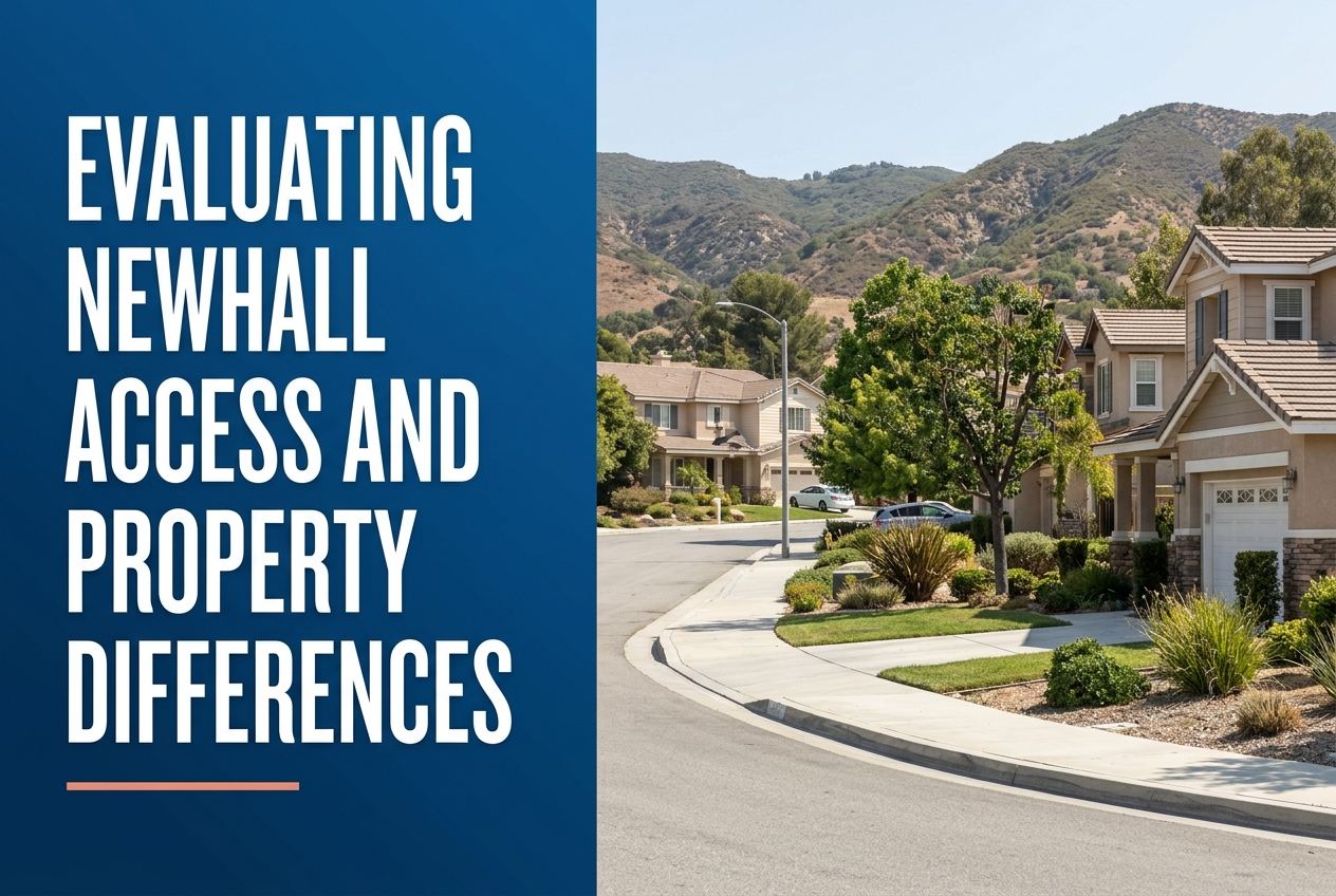
Part of Living in Newhall
Overview
Buyers can evaluate Newhall by checking three things first: where the property sits, how you will reach it, and what kind of neighborhood or district context surrounds it. In Santa Clarita, those details can change based on whether a home is inside the City of Santa Clarita or in an unincorporated part of the Santa Clarita Valley.
We would start by confirming location on a map, then review street access, transit access, and the local planning area or district that applies to the parcel. That gives buyers a clearer way to compare Newhall properties without guessing about the differences that matter most.
If you want the practical version of this for your own situation, here is our Newhall area guide.
Key Takeaways
- Confirm whether the property is inside the City of Santa Clarita or in an unincorporated county area, since the planning framework can differ.
- Check direct street access and nearby transit options, including Santa Clarita Transit and Metrolink connections when relevant.
- Look at what surrounds the property, such as an arts district, shopping area, park system, or community center, rather than relying on the neighborhood name alone.
- Use district and zone information to understand which local maintenance, planning, or service area may apply.
- Ask what Jon and I would verify first so you can focus on the facts that affect use, access, and day-to-day fit.
How should buyers place a Newhall property on the map first?
The first step is simple geography. Newhall is part of Santa Clarita, and Santa Clarita is a city in Los Angeles County located about 30 miles north of Downtown Los Angeles. That broader setting helps buyers understand regional access before they compare specific homes.
Then check whether the parcel is inside the City of Santa Clarita or in an unincorporated area of the Santa Clarita Valley. The County’s Santa Clarita Valley Area Plan applies only to the unincorporated portions of the valley, while the City has its own General Plan. That distinction matters because two nearby properties can be covered by different planning systems.
What access details matter most in and around Newhall?
Buyers should look at how a property connects to the street network and whether it is near transit options. The City of Santa Clarita says Santa Clarita Transit provides trip options around the city, and the city is also home to three Metrolink stations. That matters for buyers who want to compare driving with rail or local bus access.
Access is not only about the nearest road. It is also about whether a property is linked to a main corridor, a station area, or a local circulation street. When we review a home, we want to understand how someone enters and leaves the area, where daily trips may begin, and whether access feels direct or layered through several streets.
How do district and plan boundaries change what buyers compare?
District and plan boundaries can affect what a buyer should expect from a property, even when the neighborhood name sounds familiar. The County says its Santa Clarita Valley Area Plan is part of a joint planning effort with the City of Santa Clarita called One Valley One Vision, and together the plans provide a unified vision for development and conservation across the valley.
For buyers, the practical point is that a Newhall property should not be judged only by its street address. We also look for the planning layer that applies, the district structure around the parcel, and whether the property sits in a city zone or a county area. That helps narrow down what is relevant before you compare two homes with different surroundings.
What should buyers notice about nearby property differences?
In Santa Clarita, the mix around a property can tell you a lot. The city profile notes that Old Town Newhall is the city’s arts and entertainment district, with art galleries, public art, entertainment, dining, tasting rooms, local wineries, and boutique shops. Buyers comparing Newhall locations should note whether a property is close to that type of district or farther away in a more residential setting.
The same kind of comparison applies to open space, parks, trails, and community facilities. The city reports more than 100 miles of off-street trails and paseos, many parks, and community centers in Newhall and Canyon Country. That means two Newhall properties can differ in their surrounding uses, not just in the home itself.
What would Jon and I verify first for a Newhall buyer?
Jon and I would begin with the parcel itself. We would verify the exact location, the jurisdiction, and the access points before discussing layout, features, or price. That means checking whether the property is in the City of Santa Clarita or in an unincorporated county area, then confirming the practical street and transit connections that serve it.
Next, we would look at the surrounding context that is supported by official sources, such as whether the property is near Old Town Newhall, a community center, parks, trails, or a station area. We would also note any district or maintenance zone information that is available, because those local layers help explain how the property fits into the area.
How can buyers use city services and facilities in the comparison?
City services can help buyers judge how a Newhall location fits daily life without making assumptions. The City of Santa Clarita offers public library branches, community centers, and a full calendar of events. It also maintains roads, streets, bridges, sidewalks, and infrastructure, according to the city profile.
Buyers do not need to focus on every city feature. Instead, they can ask whether the property is close to facilities they expect to use often. For some buyers that means a library or community center. For others it means a park system, trail access, or a transit connection. The point is to compare the property against real nearby services, not just the map label.
How do maintenance districts and zones help buyers compare properties?
Santa Clarita’s Landscape Maintenance District zones are administered by the City’s Office of Special Districts, and each zone has a unique identifying number and name. Some zones cover neighborhoods, while others cover commercial, industrial, or public use areas. That gives buyers another way to understand how local services and boundaries are organized.
For a Newhall search, this matters because a district name can point to different surrounding uses and access patterns. It is not a substitute for a full property review, but it can help buyers ask better questions. We use zone information as part of a broader due diligence process so we can compare one parcel with another in a more exact way.
Sources
- City of Santa Clarita: City Profile
- Los Angeles County Planning: Santa Clarita Valley Area Plan
- santaclarita.gov
Here is where we go deeper on it: how we help buyers in Santa Clarita. The next step is usually to look at our current listings and see how they hold up against what you just read.