2026-08-25 · 7 min read · Canyon Country · last reviewed 2026-09-17
By Michelle Dubner, REALTOR® · DRE #01496647 · Dubner Real Estate Group
What to Look at First in Canyon Country
How can I tell whether a Canyon Country property is in the City or the County?
Michelle and Jon explain how buyers can compare Canyon Country locations by looking at planning areas, access roads, nearby neighborhood features, and the City and County rules that shape each propert
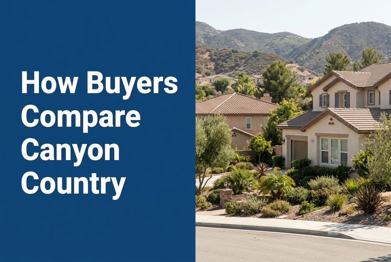
Part of Living in Canyon Country
Overview
Buyers can evaluate Canyon Country by comparing where a property sits, how it is accessed, and what surrounds it. In this part of Santa Clarita, the location can change by neighborhood, zone, and whether the property is in the City of Santa Clarita or in the unincorporated County area.
The best way to compare options is to study the address, the local planning map, and the nearby streets, parks, and services. We use those details to help buyers see real differences between properties instead of treating Canyon Country like one single area.
Here is where we go deeper on it: the Canyon Country market page we keep updated.
Key Takeaways
- Start with the exact location, because Canyon Country includes multiple zones with different access roads and nearby features.
- Check whether the property is in the City of Santa Clarita or in unincorporated Los Angeles County, since the planning rules are not the same.
- Compare the surrounding neighborhood, not just the home itself, because some zones sit near parks, shopping, libraries, schools, or commercial areas.
- Look at street access and circulation roads to understand how a property connects to the rest of Santa Clarita and Los Angeles.
- Use official zone and plan sources to confirm the property’s setting before making assumptions about value or lifestyle.
What should buyers look at first in Canyon Country?
Start with the property’s exact address and the map behind it. Canyon Country includes many different zones, and the city’s Landscape Maintenance District list shows that each zone can cover a distinct neighborhood, shopping area, or street network. That means two homes with the same Canyon Country mailing area can still sit in very different surroundings.
Buyers should also note the roads that connect a property. Some zones are accessed from Soledad Canyon Road, some from Sierra Highway, some from Golden Valley Road, and others from Copper Hill Drive or Via Princessa. Access matters because it affects how buyers reach daily services, other parts of Santa Clarita, and routes toward Los Angeles.
How do City and County boundaries change the comparison?
This is one of the most important steps. The Santa Clarita Valley Area Plan applies only to the unincorporated parts of the Santa Clarita Valley, while the City of Santa Clarita General Plan applies to the city. Together, they provide a unified vision for the valley, but they are still separate planning tools.
For buyers, that means a Canyon Country property may be governed by City planning or County planning depending on where it sits. We encourage buyers to confirm that difference early, because it affects how the property is viewed in the local land use framework and what official planning documents apply.
Which neighborhood features should buyers compare?
Canyon Country zones often point to nearby landmarks that help buyers understand each area. For example, some zones are tied to neighborhood parks, some to schools, some to shopping centers, and some to residential streets only. The LMD zone list makes those connections visible in a practical way.
A buyer can use those features to compare a home’s setting without guessing. A property near a park, a commercial center, or a major corridor will feel different from one on a quieter interior street, even before the home itself is considered. The point is not to label one area better than another. It is to understand what is around the home and how that fits the buyer’s needs.
How do the Canyon Country zones help buyers compare properties?
The City’s zone list breaks Canyon Country into multiple named areas, including Rainbow Glen, El Dorado Village, American Beauty, Shangri-La, Canyon Park, Bouquet Canyon, Stonecrest, Canyon Heights, Fair Oaks Ranch, Golden Valley Parkway, Sierra Heights, Via Princessa, Sunset Hills, Canyon Crest, Montecito, Canyon Gate, Valle Di Oro, Centre Pointe, Golden Valley Ranch Commercial, and Golden Valley Ranch Residential. Each one gives a different neighborhood frame for a property.
That is useful because buyers can compare more than home size and price. They can compare which part of Canyon Country a property belongs to, what roads serve it, and what nearby uses are listed in the zone description. That approach helps buyers narrow choices when several homes seem similar on paper.
What does the local amenity mix tell buyers?
Santa Clarita’s City Profile shows that the area offers parks, trails, public library branches, community centers, events, transit, and three Metrolink stations. Canyon Country buyers can use that citywide picture to understand how their home fits into the larger Santa Clarita setting.
Some Canyon Country zones are also close to specific city amenities. The zone list notes the Jo Anne Darcy City Library in the Shangri-La zone, the City of Santa Clarita Aquatics Center in the Centre Pointe zone, and the Via Princessa Metrolink Station in the Via Princessa zone. These details help buyers compare how each location connects to services and travel options within Santa Clarita and beyond it.
How should buyers think about open space and trails?
The County Area Plan says the Santa Clarita Valley Area Plan includes goals, objectives, policies, and implementation actions for the unincorporated portions of the valley. It also mentions a Trails Map as part of the plan package. That is useful for buyers who want to understand how land use and open space planning shape the broader area.
The City Profile also says Santa Clarita has more than 100 miles of off-street trails and paseos and thousands of acres of open space. Buyers comparing Canyon Country properties can ask whether a home is near trail access, open space, or a circulation road that makes those features easier to reach. This is a practical location question, not a guess about preference.
What is the smartest way to compare one Canyon Country home with another?
We suggest using a simple checklist. First, confirm the exact zone or planning area. Second, check whether the property is in the City or County framework. Third, note the access road and nearby streets. Fourth, identify the closest named neighborhood feature in the official source, such as a park, shopping center, library, or transit stop.
This method helps buyers compare properties in a calm, factual way. A Canyon Country home near Sierra Highway may have a different setting than one near Golden Valley Road or Via Princessa. A property in a zone that includes a shopping center or community facility may also feel different from one in a zone made up mostly of homes and circulation streets. The goal is to understand the property’s setting before focusing on finishes or interior layout.
Sources
- City of Santa Clarita: City Profile
- Los Angeles County Planning: Santa Clarita Valley Area Plan
- santaclarita.gov
More on that in the step by step buying process we use. When you are ready to look at real homes, our current listings are the place to start.