2026-09-07 · 8 min read · Saugus · last reviewed 2026-09-17
By Michelle Dubner, REALTOR® · DRE #01496647 · Dubner Real Estate Group
What Landscape Maintenance District Zones Mean in Saugus
What do Landscape Maintenance District zones tell buyers about Saugus homes?
In Saugus, a home search is shaped by more than the house itself. Location, district boundaries, access roads, and the Santa Clarita Valley planning framework can all affect what sits nearby and how a
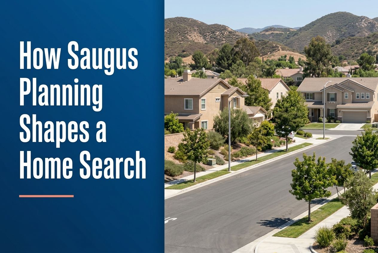
Part of Living in Saugus
Overview
When we help buyers look at Saugus, we start with location and planning before we talk about style. In this part of Santa Clarita, the same neighborhood name can still lead to very different streets, district zones, and access patterns.
That matters because Saugus sits within the City of Santa Clarita, while the wider Santa Clarita Valley also includes unincorporated County areas under a separate but connected planning framework. A careful home search looks at both the city side and the broader valley plan so you know what surrounds the property and how it is organized.
Here is where we go deeper on it: what to know about living in Saugus.
Key Takeaways
- Saugus is part of Santa Clarita, which sits about 30 miles north of Downtown Los Angeles.
- The Santa Clarita Valley has both a city General Plan and a County Area Plan, which work together on development and conservation.
- Some Saugus areas are defined through Landscape Maintenance District zones, which can help buyers understand local boundaries and maintained spaces.
- Access roads matter in Saugus because many zones are tied to specific streets, intersections, and neighborhood entries.
- Planning details do not replace a home inspection, but they help buyers compare homes with clearer context.
Why does Saugus location matter before you compare homes?
Saugus is not just a dot on a map. It is one of the communities included when Santa Clarita incorporated, and it sits inside a valley setting that is part of the larger Los Angeles region. For buyers, that means the search is shaped by both local neighborhood context and the larger commute and planning picture around Santa Clarita and Los Angeles.
We look at how a home sits within the city, not only how it looks online. A property near a named road, park, or commercial area may feel very different from another home with the same bedroom count but a different access pattern or nearby land use.
How do city and county plans affect a Saugus search?
The Santa Clarita Valley Area Plan applies to the unincorporated parts of the valley, while the City of Santa Clarita has its own General Plan. The county and city plans together provide a unified vision for development and conservation across the valley. That is the big planning frame buyers should know before they decide where to focus.
For a Saugus search, this means we think beyond the listing sheet. If a buyer wants to understand how an area is organized, we look at whether a property is inside city limits and how the surrounding valley is planned. That helps explain why some areas feel more built out, why some corridors are tied to specific access routes, and how future planning is handled at a broader level.
What do Landscape Maintenance District zones tell you?
The City of Santa Clarita administers Landscape Maintenance District zones, and each zone is financially independent with its own identifying number and name. In Saugus, several zones are listed by name, including Faircliff, Skyline Ranch, Mountain View Slopes, Mountain View Condos, Seco Villas, Shadow Hills, Miramontes, and Haskell Canyon Ranch.
These zones are useful because they often describe the general area, access points, and nearby features. For example, some Saugus zones reference shopping centers, parks, condominiums, or neighborhood access from Copper Hill Drive, Seco Canyon Road, Skyline Ranch Road, or other named streets. That gives buyers a more exact way to understand where a property sits in relation to daily routes and nearby places.
Which Saugus streets and access points should buyers pay attention to?
In Saugus, access is part of the planning story. The city’s zone descriptions identify several areas by the roads used to reach them. That includes Copper Hill Drive, Seco Canyon Road, Skyline Ranch Road, Plum Canyon Road, Sierra Highway, Gold Canyon Drive, Hidden Hills Drive, Deer Springs, High Ridge Drive, and Brookview Terrace, depending on the zone.
This is not just map trivia. For a buyer, road access can shape how you get to shopping, parks, and regional connectors. It can also help you avoid assuming that homes with the same neighborhood label have the same feel or same route structure. We use these access clues to narrow a search and make the next step more efficient.
How does nearby open space and trail planning fit into the search?
The Santa Clarita Valley Area Plan includes a Trails Map, and the city profile notes more than 100 miles of off-street trails and paseos, along with thousands of acres of open space. For Saugus buyers, that means location choices are not only about the house lot. They are also about how the neighborhood connects to trails, open space, and the wider city network.
That can matter even when you are focused on a single home. A property close to a trail or paseo may fit one buyer’s routine better than another. But we never guess. We look at the official planning references and the specific zone or neighborhood context before saying how a location connects to nearby paths or open space.
What should buyers ask before they tour a Saugus home?
Start with the basics. Ask whether the property is in the City of Santa Clarita or in an unincorporated County area. Then ask which zone or planning area applies, what the main access streets are, and whether nearby land use includes parks, shopping, or other neighborhood features listed in the official zone description.
Next, ask how the home fits the broader Santa Clarita Valley framework. If you are comparing homes in Saugus with homes elsewhere in Santa Clarita, or even with homes in the larger Los Angeles area, the planning context can help you compare more clearly. It gives you a grounded way to understand what surrounds the house without relying on guesswork or broad labels.
Sources
- City of Santa Clarita: City Profile
- Los Angeles County Planning: Santa Clarita Valley Area Plan
- santaclarita.gov
We put the rest of it together here: the step by step buying process we use. From there, our current listings show you how these differences actually show up on the ground.