2026-08-31 · 7 min read · Valencia · last reviewed 2026-09-17
By Michelle Dubner, REALTOR® · DRE #01496647 · Dubner Real Estate Group
What Valencia Zoning Tells You About a Neighborhood
What can zoning tell buyers about a Valencia neighborhood?
When you search for a home in Valencia, planning shapes more than the lot lines. It can affect what land uses are nearby, which trails or parks are close, and how the broader Santa Clarita Valley is o
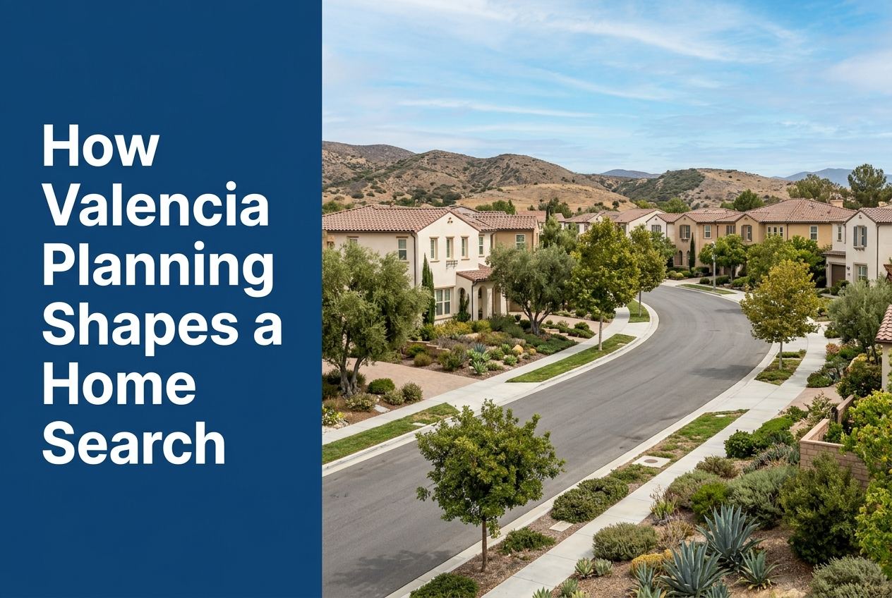
Part of Living in Valencia
Overview
Valencia planning affects a home search by showing what is allowed nearby, how neighborhoods connect, and which community features sit close to the home. In Santa Clarita, we look at both city planning and county planning because parts of the valley are governed together through a shared vision.
The search becomes more practical when buyers compare zoning, neighborhood features, trails, parks, transit, and nearby civic services. That helps us see not just where a home sits, but how the surrounding area is planned and used today.
Here is where we go deeper on it: what to know about living in Valencia.
Key Takeaways
- City and county planning work together in the Santa Clarita Valley, so buyers should review both the City of Santa Clarita General Plan and the County’s Santa Clarita Valley Area Plan.
- Neighborhood features matter because Valencia zones often include parks, schools, shopping centers, and other landmarks that help define the area around a home.
- Trails, paseos, parks, and open space are part of the built environment and can shape how a buyer thinks about daily routines and nearby recreation.
- Transit access matters too, including Santa Clarita Transit and the city’s three Metrolink Stations, when the search includes commute planning.
- Landscape Maintenance District zones can help buyers understand which neighborhood features are tied to a specific area, such as parks, golf courses, shopping centers, or schools.
How does planning change what you compare first?
We start by asking whether the home is in the City of Santa Clarita or in an unincorporated part of the Santa Clarita Valley. The County’s Santa Clarita Valley Area Plan applies to unincorporated areas, while the City’s General Plan covers the city side. Together, they provide a unified vision for development and conservation across the valley.
That matters in a search because planning is not just about a property line. It tells us what kinds of uses, access, and surrounding development have been mapped for the area. For a Valencia buyer, that can help narrow the search to places that fit how you want to live and move around the valley.
What do zoning and land use tell you about a neighborhood?
Zoning and land use help explain the setting around a home. In Valencia, the Landscape Maintenance District zones list nearby features such as parks, schools, shopping centers, apartments, medical offices, and churches. Those details show how a neighborhood is organized on the ground, not just on a map.
For example, some Valencia zones include the Westfield Valencia Mall area, Tourney Road medical and industrial facilities, Bridgeport Park and Elementary School, and the neighborhoods around Valencia Valley Park. When we review a home search, these nearby features help us understand the day-to-day surroundings that come with the address.
Why do trails, paseos, and open space matter in Valencia?
The City of Santa Clarita says it offers more than 100 miles of off-street trails and paseos, plus thousands of acres of open space. That means a home search can include more than streets and subdivisions. It can also include access points, walking routes, and nearby open space.
For buyers, this changes how we evaluate a location. A home close to trails or open space may feel different from one that is farther away from those features. In Santa Clarita and Valencia, those connections are part of the local planning picture and should be checked early in the search.
How do parks and civic spaces affect the search?
Parks and civic places are part of what buyers should study because they help define the immediate area around a home. The city profile notes dozens of parks, including Central Park, and describes amenities like picnic areas, multisport lighted fields, pools, classrooms, and event spaces. Those features can shape how a neighborhood is used throughout the day.
Valencia-specific district zones also point to local parks like Valencia Meadows Park, Valencia Glen Park, Almendra Park, Summit Park, Northbridge Park, and Bridgeport Park. When we help a buyer compare homes, these names are useful because they show what sits nearby and what kind of neighborhood pattern the home is inside.
How should buyers use transit and access points in the search?
Planning also helps you think about how people enter and move through the area. Santa Clarita Transit provides trip options within the city, and the city is home to three Metrolink Stations. The county plan also notes the Trails Map, which is part of the planning framework for the valley.
In Valencia, some zones are identified by access roads such as Newhall Ranch Road, Copper Hill Drive, or Tourney Road. That is useful because access can change how a home fits daily travel, school routines, errands, and regional commuting into Los Angeles or around Santa Clarita.
What can Landscape Maintenance District zones add to a home search?
LMD zones are one of the clearest tools for understanding neighborhood features. The city says these zones are financially independent and have unique names and numbers. They can identify the community features tied to a specific area, which helps buyers read the neighborhood in practical terms.
In Valencia, the LMD list includes zones tied to Old Orchard, Valencia Hills, Valencia Meadows, Valencia Glen, Valencia South Valley, Valencia Central and North, Valencia Summit, Northbridge, North Park, West Creek, West Hills, River Village, Bridgeport, the Town Center and Tourney Road area, and the Valencia Industrial Center. That does not replace a full property review, but it gives a buyer a structured way to compare nearby amenities and neighborhood layout.
How do city services and community features fit into the decision?
Planning is also connected to how the city operates. The city profile describes services such as road and infrastructure maintenance, graffiti removal, libraries, community centers, and public events. These are not just extras. They are part of the local framework that surrounds a home search.
For a buyer, that means the question is not only which house to choose, but which part of Valencia or Santa Clarita has the mix of services and nearby features that matches your daily needs. We look at those pieces together so the search reflects the full setting around the home.
Sources
- City of Santa Clarita: City Profile
- Los Angeles County Planning: Santa Clarita Valley Area Plan
- santaclarita.gov
The detail behind that sits in how we help buyers in Santa Clarita. The next step is usually to look at our current listings and see how they hold up against what you just read.